4.4 km | 4.6 km-effort
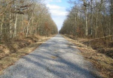
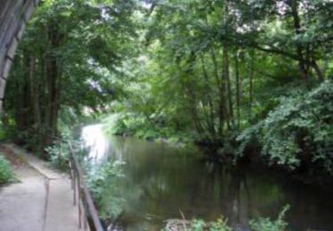
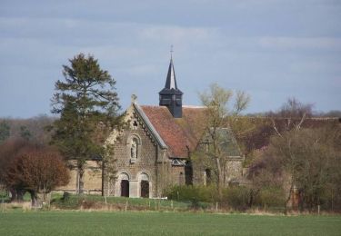
Forêt de Breteuil 9.1Km
ODDAD78
User
Length
9 km
Max alt
205 m
Uphill gradient
71 m
Km-Effort
10 km
Min alt
185 m
Downhill gradient
72 m
Boucle
Yes
Creation date :
2019-04-13 16:35:28.044
Updated on :
2019-04-13 16:35:28.076
2h12
Difficulty : Easy
FREE GPS app for hiking
About
Trail Walking of 9 km to be discovered at Normandy, Eure, Verneuil d'Avre et d'Iton. This trail is proposed by ODDAD78.
Positioning
Country:
France
Region :
Normandy
Department/Province :
Eure
Municipality :
Verneuil d'Avre et d'Iton
Location:
Unknown
Start:(Dec)
Start:(UTM)
340140 ; 5407106 (31U) N.
Comments
Trails nearby
Circuit de Malicorne - Francheville
Walking
Easy
Verneuil d'Avre et d'Iton,
Normandy,
Eure,
France
1h 4min
Yes
La Voie Romaine - Francheville
Walking
Difficult
Verneuil d'Avre et d'Iton,
Normandy,
Eure,
France
16.1 km | 17.3 km-effort
4h 0min
Yes
Circuit du Pré Saulé - Bourth
Walking
Easy
Bourth,
Normandy,
Eure,
France
5.5 km | 6.2 km-effort
1h 19min
Yes
Circuit du Lême - Baux-de-Breteuil
Walking
Easy
(1)
Les Baux-de-Breteuil,
Normandy,
Eure,
France
5 km | 5.7 km-effort
1h 15min
Yes
Francheville Iton Voie Romaine 16.4 Km
Walking
Easy
Verneuil d'Avre et d'Iton,
Normandy,
Eure,
France
16.4 km | 17.8 km-effort
3h 54min
Yes
Bourth Circuit Pré Saul 5.5 Km
Walking
Easy
Bourth,
Normandy,
Eure,
France
5.5 km | 6.2 km-effort
1h 21min
Yes
chaise dieu du theil 27 mars
Walking
Easy
Chaise-Dieu-du-Theil,
Normandy,
Eure,
France
8.5 km | 9.6 km-effort
2h 8min
Yes
Laguéroulde
Mountain bike
Difficult
Breteuil,
Normandy,
Eure,
France
63 km | 69 km-effort
3h 30min
Yes